
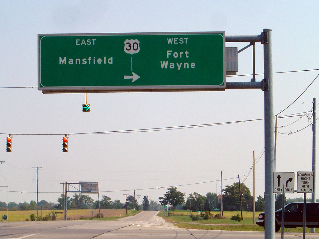
For Galion residents, U.S. Route 30 is a familiar part of the landscape, as the four-lane highway north of the city carries thousands of motorists through Crawford County, connecting communities, businesses, and destinations well beyond Ohio. That highway is also part of a transcontinental route stretching more than 3,000 miles, with a history dating back a full century.
From the Atlantic to the Pacific
U.S. Route 30 was established on November 11, 1926, as part of America’s original numbered highway system. It extends from Atlantic City, New Jersey, to Astoria, Oregon, a distance of approximately 3,073 miles. The highway crosses ten states: New Jersey, Pennsylvania, Ohio, Indiana, Illinois, Iowa, Nebraska, Wyoming, Idaho, and Oregon.
U.S. 30 is the only American numbered highway that has maintained coast-to-coast endpoints since the system was established in 1926, making it truly unique. Its creation helped replace an often confusing collection of named automobile trails with a standardized network of numbered routes. Motorists could follow familiar highway shields rather than rely on local trail names or promotional signs.
Much of the route followed the earlier Lincoln Highway, established in 1913, although the two roads were never identical. From its eastern terminus , U.S. Route 30 travels through or near such well-known cities as Philadelphia, Gettysburg, Pittsburgh, Canton, Mansfield, Fort Wayne, Joliet, Cedar Rapids, Cheyenne, Boise, and Portland.
Galion Was on the Original Route
When U.S. 30 was first designated in 1926, it passed through Galion rather than following today’s northern alignment. The original highway traveled west from Mansfield along the Harding Highway, connecting Galion with Marion, Kenton, and Lima. That changed in 1931, when Ohio established two parallel U.S. 30 routes between Mansfield and Delphos.
The northern alignment, U.S. 30-N, passed through Bucyrus and Upper Sandusky. The southern alignment, U.S. 30-S, continued through Galion, Marion, and Kenton.
For more than four decades, motorists could choose between two officially designated versions of the same federal highway.
The arrangement ended in November 1973. The northern route became U.S. 30, while the former southern route through Galion was redesignated State Route 309, even though the highway was wider along the southern path. For Galion, it meant losing the familiar federal highway number even though the old route remained an important east-west connection.
A New Highway Changes the Landscape
The modern U.S. 30 corridor developed gradually as Ohio replaced older two-lane roads with divided highways and bypasses. One of the most important local changes came in 2005, when a new four-lane alignment opened between the Bucyrus and Mansfield areas, passing north of Galion and south of Crestline. The improvement carried through traffic away from older roads and provided a more direct east-west connection across Crawford County. It also reduced travel times for Galionites going to Ontario and Mansfield by at least 5 minutes.
It also changed the relationship between Galion and U.S. 30. Instead of passing directly through the city as the original federal route had done, the highway now served Galion from its northern edge. The new alignment improved regional access while reducing heavy traffic through communities along the former route.
A Highway Still Evolving
Today, U.S. 30 serves as one of northern Ohio’s major east-west transportation corridors. Across much of the state, it resembles an interstate highway, with divided lanes, interchanges, and limited access. It is not, of course, an Interstate Highway. U.S. routes and Interstates are separate numbering systems, even when their roads share similar designs.
U.S. 30 continues to connect Ohio with major markets to the east and west, making it important for freight transportation, commuting, and economic development.
For Galion, the highway’s story is particularly unusual. The city was part of the original U.S. 30, spent decades on U.S. 30-S, lost the federal designation in 1973, and regained convenient access to the modern four-lane route in 2005. Galion is therefore the only Crawford County community on the original and current route.
The familiar highway signs may simply display the number 30, but behind them lies a century of changing roads, growing communities, and an evolving transportation system that helped connect Galion to the rest of America.
Photo: Creative Commons License